Double Rainbow over Yoker
Introduction
The photograph on this page of Double Rainbow over Yoker by Darrin Antrobus as part of the Geograph project.
The Geograph project started in 2005 with the aim of publishing, organising and preserving representative images for every square kilometre of Great Britain, Ireland and the Isle of Man.

There are currently over 7.5m images from over 14,400 individuals and you can help contribute to the project by visiting https://www.geograph.org.uk
Double Rainbow over Yoker
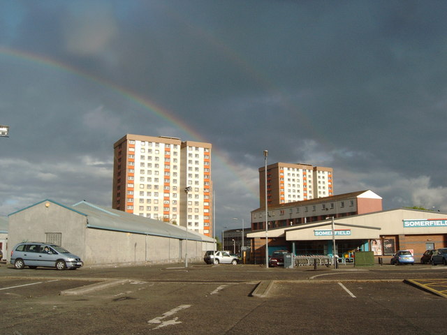
Image: © Darrin Antrobus Taken: 10 May 2007
The name Yoker is an Anglicization of the Scottish Gaelic Iochdar meaning a low lying place; the name was attested for the first time in 1505.
Images are licensed for reuse under creativecommons.org/licenses/by-sa/2.0
Image Location
Latitude
55.892625
Longitude
-4.388848