Gray's Drive Vicinity, Mansfield Road, Notts.
Introduction
The photograph on this page of Gray's Drive Vicinity, Mansfield Road, Notts. by David Hallam-Jones as part of the Geograph project.
The Geograph project started in 2005 with the aim of publishing, organising and preserving representative images for every square kilometre of Great Britain, Ireland and the Isle of Man.

There are currently over 7.5m images from over 14,400 individuals and you can help contribute to the project by visiting https://www.geograph.org.uk
Gray's Drive Vicinity, Mansfield Road, Notts.
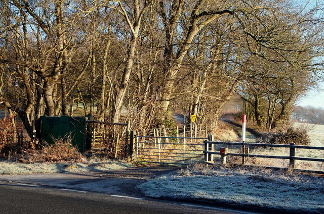
Image: © David Hallam-Jones Taken: 4 Jan 2015
This track off the A60 (the Mansfield-Nottingham road) leads 'across country' to Papplewick Pumping Station on Rigg Lane. It is not marked as a public footpath or right of way. On the left it passes a wood called the Longdale Plantation in which the Lafarge Tarmac Company have a commercial sand-extraction site.
Images are licensed for reuse under creativecommons.org/licenses/by-sa/2.0
Image Location
Latitude
53.063579
Longitude
-1.153109