Carlyon Bay: in the shadow of Crinnis Island
Introduction
The photograph on this page of Carlyon Bay: in the shadow of Crinnis Island by Chris Downer as part of the Geograph project.
The Geograph project started in 2005 with the aim of publishing, organising and preserving representative images for every square kilometre of Great Britain, Ireland and the Isle of Man.

There are currently over 7.5m images from over 14,400 individuals and you can help contribute to the project by visiting https://www.geograph.org.uk
Carlyon Bay: in the shadow of Crinnis Island
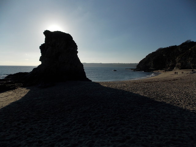
Image: © Chris Downer Taken: 28 Dec 2014
Looking across the western end of Carlyon Bay, the top of Crinnis Island shielding the sun on this bright winter afternoon.
Images are licensed for reuse under creativecommons.org/licenses/by-sa/2.0
Image Location
Latitude
50.336027
Longitude
-4.733654