Aylesbury seen from Aston Hill
Introduction
The photograph on this page of Aylesbury seen from Aston Hill by Bikeboy as part of the Geograph project.
The Geograph project started in 2005 with the aim of publishing, organising and preserving representative images for every square kilometre of Great Britain, Ireland and the Isle of Man.

There are currently over 7.5m images from over 14,400 individuals and you can help contribute to the project by visiting https://www.geograph.org.uk
Aylesbury seen from Aston Hill
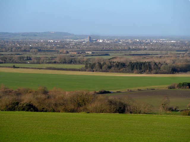
Image: © Bikeboy Taken: 2 Jan 2015
Telephoto shot from around 3 miles to the south east from the Chiltern escarpment. The tallest building in the middle picture is the County Hall building. See http://www.geograph.org.uk/photo/3170387 for a closer view.
Images are licensed for reuse under creativecommons.org/licenses/by-sa/2.0
Image Location
Latitude
51.814829
Longitude
-0.810269