Metrolink Bridge at Bowker Vale
Introduction
The photograph on this page of Metrolink Bridge at Bowker Vale by David Dixon as part of the Geograph project.
The Geograph project started in 2005 with the aim of publishing, organising and preserving representative images for every square kilometre of Great Britain, Ireland and the Isle of Man.

There are currently over 7.5m images from over 14,400 individuals and you can help contribute to the project by visiting https://www.geograph.org.uk
Metrolink Bridge at Bowker Vale
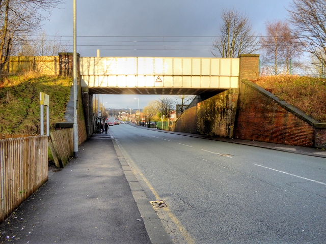
Image: © David Dixon Taken: 3 Jan 2015
This bridge over Middleton Road was originally built to carry the railway between Bury and Manchester. The line is now used by the Metrolink tramway.
Images are licensed for reuse under creativecommons.org/licenses/by-sa/2.0
Image Location
Latitude
53.524486
Longitude
-2.248845