Apedale Country Park: waymarker north of Apedale Road
Introduction
The photograph on this page of Apedale Country Park: waymarker north of Apedale Road by Jonathan Hutchins as part of the Geograph project.
The Geograph project started in 2005 with the aim of publishing, organising and preserving representative images for every square kilometre of Great Britain, Ireland and the Isle of Man.

There are currently over 7.5m images from over 14,400 individuals and you can help contribute to the project by visiting https://www.geograph.org.uk
Apedale Country Park: waymarker north of Apedale Road
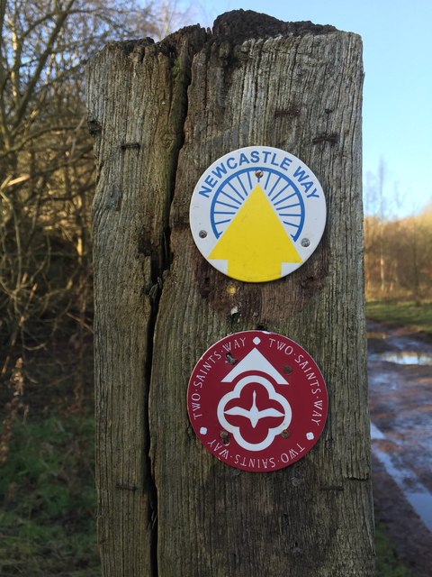
Image: © Jonathan Hutchins Taken: 2 Jan 2015
The Newcastle Way is a walking route of 25 miles through the borough of Newcastle-under-Lyme from Mow Cop (on the Cheshire border) to Market Drayton (in Shropshire). The Two Saints Way is a 92-mile pilgrimage route created as recently as 2012, between Chester and Lichfield (the two saints being St.Werburgh and St.Chad) http://twosaintsway.org.uk.
Images are licensed for reuse under creativecommons.org/licenses/by-sa/2.0
Image Location


Leaflet Map data © OpenStreetMap
Latitude
53.039677
Longitude
-2.269606