Syd Brook, Eccleston
Introduction
The photograph on this page of Syd Brook, Eccleston by Gary Rogers as part of the Geograph project.
The Geograph project started in 2005 with the aim of publishing, organising and preserving representative images for every square kilometre of Great Britain, Ireland and the Isle of Man.

There are currently over 7.5m images from over 14,400 individuals and you can help contribute to the project by visiting https://www.geograph.org.uk
Syd Brook, Eccleston
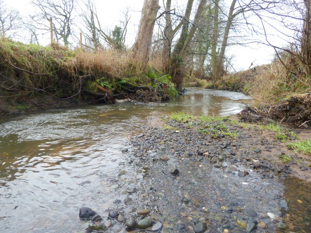
Image: © Gary Rogers Taken: 3 Jan 2015
Syd Brook west of Woodart Bridge. Syd Brook is a tributary of the River Yarrow which it joins at Home Farm.
Images are licensed for reuse under creativecommons.org/licenses/by-sa/2.0
Image Location
Latitude
53.643298
Longitude
-2.733739