Playing Fields Greenock
Introduction
The photograph on this page of Playing Fields Greenock by John McLeish as part of the Geograph project.
The Geograph project started in 2005 with the aim of publishing, organising and preserving representative images for every square kilometre of Great Britain, Ireland and the Isle of Man.

There are currently over 7.5m images from over 14,400 individuals and you can help contribute to the project by visiting https://www.geograph.org.uk
Playing Fields Greenock
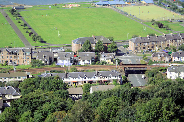
Image: © John McLeish Taken: 13 Jun 2006
An elevated shot of sports centre with railway line visible running West/East
Images are licensed for reuse under creativecommons.org/licenses/by-sa/2.0
Image Location


Leaflet Map data © OpenStreetMap
Latitude
55.962192
Longitude
-4.794534