The Kidderminster Road roundabout, Hagley (A491/A456)
Introduction
The photograph on this page of The Kidderminster Road roundabout, Hagley (A491/A456) by Phil Champion as part of the Geograph project.
The Geograph project started in 2005 with the aim of publishing, organising and preserving representative images for every square kilometre of Great Britain, Ireland and the Isle of Man.

There are currently over 7.5m images from over 14,400 individuals and you can help contribute to the project by visiting https://www.geograph.org.uk
The Kidderminster Road roundabout, Hagley (A491/A456)
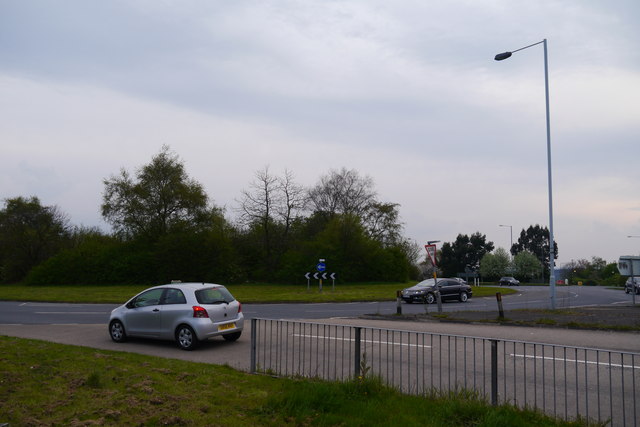
Image: © Phil Champion Taken: 21 Apr 2014
This part of Hagley is dominated by several major dual carriageway roads dating from the 1960s.
Images are licensed for reuse under creativecommons.org/licenses/by-sa/2.0
Image Location
Latitude
52.423135
Longitude
-2.131861