Hill of Banchory South
Introduction
The photograph on this page of Hill of Banchory South by Nigel Corby as part of the Geograph project.
The Geograph project started in 2005 with the aim of publishing, organising and preserving representative images for every square kilometre of Great Britain, Ireland and the Isle of Man.

There are currently over 7.5m images from over 14,400 individuals and you can help contribute to the project by visiting https://www.geograph.org.uk
Hill of Banchory South
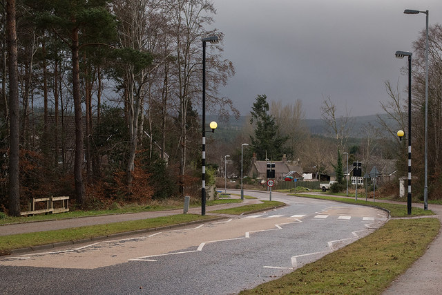
Image: © Nigel Corby Taken: 31 Dec 2014
One of the access roads to the mainly residential development at Hill of Banchory
Images are licensed for reuse under creativecommons.org/licenses/by-sa/2.0
Image Location
Latitude
57.057643
Longitude
-2.480236