Approaching Maisey Farm, Ogbourne Maizey
Introduction
The photograph on this page of Approaching Maisey Farm, Ogbourne Maizey by Vieve Forward as part of the Geograph project.
The Geograph project started in 2005 with the aim of publishing, organising and preserving representative images for every square kilometre of Great Britain, Ireland and the Isle of Man.

There are currently over 7.5m images from over 14,400 individuals and you can help contribute to the project by visiting https://www.geograph.org.uk
Approaching Maisey Farm, Ogbourne Maizey
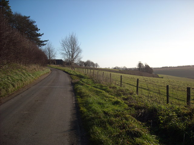
Image: © Vieve Forward Taken: 2 Jan 2015
Minor road on the approach to Maisey Farm. It would appear that part of the shelter belt of trees to the right of the road has been felled. The farm spells its name with an 's', the village with a 'z'. Elsewhere, it is spelt 'Meysey' Image The name derives from Robert de Maizey, who held the manor from 1242 (perhaps the same Robert de Maizey after whom Marston Meysey is named). http://www.british-history.ac.uk/vch/wilts/vol12/pp138-151
Images are licensed for reuse under creativecommons.org/licenses/by-sa/2.0
Image Location


Leaflet Map data © OpenStreetMap
Latitude
51.439704
Longitude
-1.747888