A path junction in the woodland on Nag Hill
Introduction
The photograph on this page of A path junction in the woodland on Nag Hill by Phil Champion as part of the Geograph project.
The Geograph project started in 2005 with the aim of publishing, organising and preserving representative images for every square kilometre of Great Britain, Ireland and the Isle of Man.

There are currently over 7.5m images from over 14,400 individuals and you can help contribute to the project by visiting https://www.geograph.org.uk
A path junction in the woodland on Nag Hill
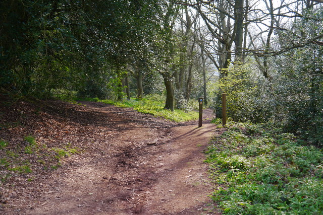
Image: © Phil Champion Taken: 21 Apr 2014
The left fork is the bridleway towards Walton Pool. The right is a footpath down through the fields towards the church at Clent.
Images are licensed for reuse under creativecommons.org/licenses/by-sa/2.0
Image Location
Latitude
52.411928
Longitude
-2.100808