Carlton Fields, in Wakefield's rhubarb triangle
Introduction
The photograph on this page of Carlton Fields, in Wakefield's rhubarb triangle by Christine Johnstone as part of the Geograph project.
The Geograph project started in 2005 with the aim of publishing, organising and preserving representative images for every square kilometre of Great Britain, Ireland and the Isle of Man.

There are currently over 7.5m images from over 14,400 individuals and you can help contribute to the project by visiting https://www.geograph.org.uk
Carlton Fields, in Wakefield's rhubarb triangle
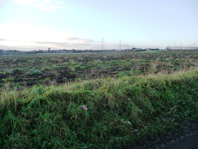
Image: © Christine Johnstone Taken: 30 Dec 2014
On the north side of Leadwell Lane [A654]. This field is probably used to grow rhubarb. Rhubarb is grown outdoors for a couple of years, then taken into heated sheds to overwinter. The new pink stalks are harvested as the first 'fruit' of spring. The industry developed here in the 1800s because of the right soil, cheap local coal to heat the sheds, and fast trains down to the London markets.
Images are licensed for reuse under creativecommons.org/licenses/by-sa/2.0
Image Location


Leaflet Map data © OpenStreetMap
Latitude
53.744872
Longitude
-1.492619