Camperdown Parkrun
Introduction
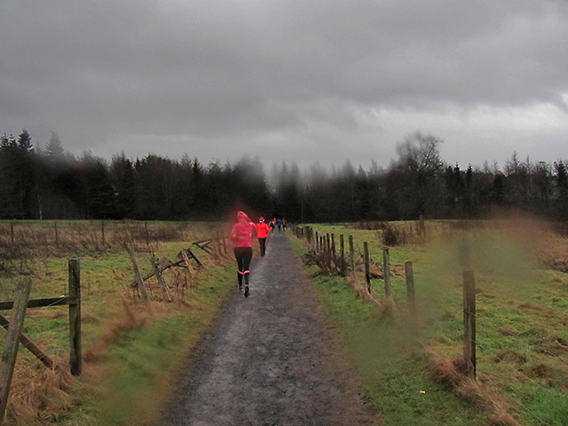
The photograph on this page of Camperdown Parkrun by William Starkey as part of the Geograph project.
The Geograph project started in 2005 with the aim of publishing, organising and preserving representative images for every square kilometre of Great Britain, Ireland and the Isle of Man.
There are currently over 7.5m images from over 14,400 individuals and you can help contribute to the project by visiting https://www.geograph.org.uk

Image: © William Starkey Taken: 1 Jan 2015
The New Year's Day parkrun at Camperdown Park - runners endured a very wet day as evidenced by the raindrops on the camera lens. Much of the course was muddy, and care was needed to avoid falling. The Camperdown course is quite difficult, with a lengthy ascent in adjacent gridsquare Image Several of the runners had completed the Perth parkrun event held earlier that morning before moving on to Camperdown for the later start, completing two events in one day. Reference: Camperdown Parkrun: http://www.parkrun.org.uk/camperdown/course/

