The Culm Valley at Culmstock
Introduction
The photograph on this page of The Culm Valley at Culmstock by M J Richardson as part of the Geograph project.
The Geograph project started in 2005 with the aim of publishing, organising and preserving representative images for every square kilometre of Great Britain, Ireland and the Isle of Man.

There are currently over 7.5m images from over 14,400 individuals and you can help contribute to the project by visiting https://www.geograph.org.uk
The Culm Valley at Culmstock
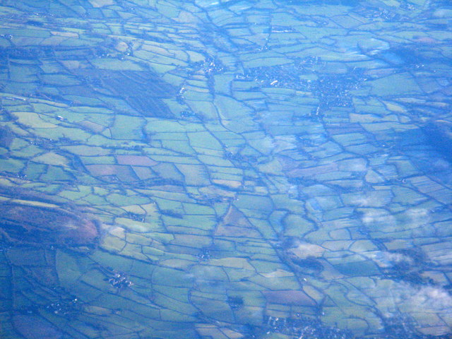
Image: © M J Richardson Taken: 30 Dec 2014
Looking east up the valley of the River Culm. The bluff protruding from the left is Culmstock Beacon. The village above and right of centre is Hemyock. Viewed from the air northeast of Tiverton
Images are licensed for reuse under creativecommons.org/licenses/by-sa/2.0
Image Location
Latitude
50.921208
Longitude
-3.273259