Intertidal planting
Introduction
The photograph on this page of Intertidal planting by Stephen Craven as part of the Geograph project.
The Geograph project started in 2005 with the aim of publishing, organising and preserving representative images for every square kilometre of Great Britain, Ireland and the Isle of Man.

There are currently over 7.5m images from over 14,400 individuals and you can help contribute to the project by visiting https://www.geograph.org.uk
Intertidal planting
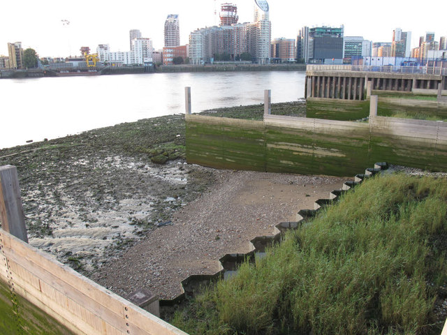
Image: © Stephen Craven Taken: 8 Sep 2014
A set of sheet piles between wooden groynes retains a bed of intertidal plants.
Images are licensed for reuse under creativecommons.org/licenses/by-sa/2.0
Image Location
Latitude
51.501635
Longitude
-0.001944