Waterfront Canal
Introduction
The photograph on this page of Waterfront Canal by Gordon Griffiths as part of the Geograph project.
The Geograph project started in 2005 with the aim of publishing, organising and preserving representative images for every square kilometre of Great Britain, Ireland and the Isle of Man.

There are currently over 7.5m images from over 14,400 individuals and you can help contribute to the project by visiting https://www.geograph.org.uk
Waterfront Canal
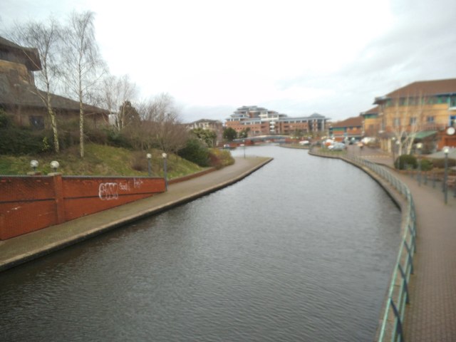
Image: © Gordon Griffiths Taken: 1 Jan 2015
The Waterfront was developed on the hill above the Merry Hill Centre next to the Dudley No 1 Canal.
Images are licensed for reuse under creativecommons.org/licenses/by-sa/2.0
Image Location
Latitude
52.485543
Longitude
-2.114524