Kilnfield Pit
Introduction
The photograph on this page of Kilnfield Pit by Simon Carey as part of the Geograph project.
The Geograph project started in 2005 with the aim of publishing, organising and preserving representative images for every square kilometre of Great Britain, Ireland and the Isle of Man.

There are currently over 7.5m images from over 14,400 individuals and you can help contribute to the project by visiting https://www.geograph.org.uk
Kilnfield Pit
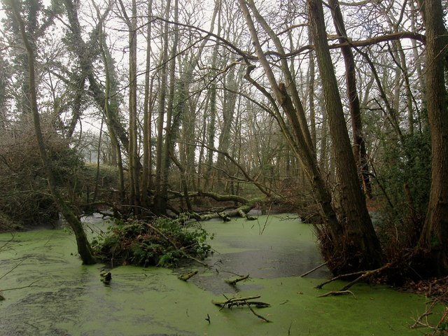
Image: © Simon Carey Taken: 30 Dec 2014
A small wood next to the B2036 containing a couple of ponds with the one in view being the smaller of the two. The name appears on Cuckfield's 1843 tithe map and is still marked as such on maps today.
Images are licensed for reuse under creativecommons.org/licenses/by-sa/2.0
Image Location
Latitude
50.979249
Longitude
-0.15053