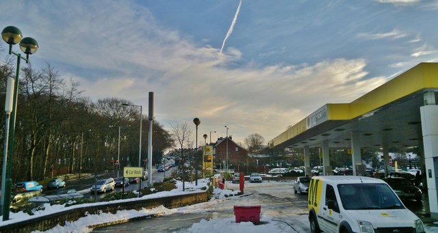
A61 leading up Meadowhead towards Chesterfield
Introduction
The photograph on this page of A61 leading up Meadowhead towards Chesterfield by Chris Morgan as part of the Geograph project.
The Geograph project started in 2005 with the aim of publishing, organising and preserving representative images for every square kilometre of Great Britain, Ireland and the Isle of Man.
There are currently over 7.5m images from over 14,400 individuals and you can help contribute to the project by visiting https://www.geograph.org.uk

Image: © Chris Morgan Taken: 31 Dec 2014
From Morrison's car wash queue on a cold December afternoon, as heavy snow is starting to melt. Morrison's supermarket is constructed on the site of an old quarry. Petrol is 112.9p per litre on this day, a big drop from the prices seen in recent months, but maybe high by the trend current at this time. Will it get below £1? Graves Park and Cobnar Wood to the left.

