Former Farm Building, Little Lower Ease
Introduction
The photograph on this page of Former Farm Building, Little Lower Ease by Simon Carey as part of the Geograph project.
The Geograph project started in 2005 with the aim of publishing, organising and preserving representative images for every square kilometre of Great Britain, Ireland and the Isle of Man.

There are currently over 7.5m images from over 14,400 individuals and you can help contribute to the project by visiting https://www.geograph.org.uk
Former Farm Building, Little Lower Ease
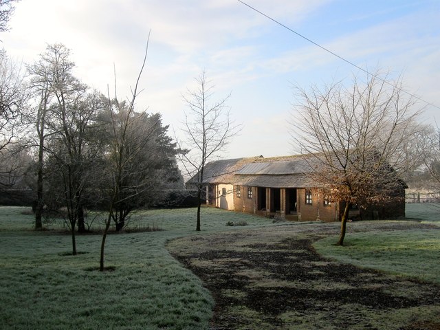
Image: © Simon Carey Taken: 30 Dec 2014
What looks like old cattle byres now used as storerooms. Looking at old maps there seems to have once been a larger complex of barns here belonging to Leigh Farm that were removed sometime between the wars.
Images are licensed for reuse under creativecommons.org/licenses/by-sa/2.0
Image Location
Latitude
50.977462
Longitude
-0.168408