Pick Pond Eight Acres
Introduction
The photograph on this page of Pick Pond Eight Acres by Simon Carey as part of the Geograph project.
The Geograph project started in 2005 with the aim of publishing, organising and preserving representative images for every square kilometre of Great Britain, Ireland and the Isle of Man.

There are currently over 7.5m images from over 14,400 individuals and you can help contribute to the project by visiting https://www.geograph.org.uk
Pick Pond Eight Acres
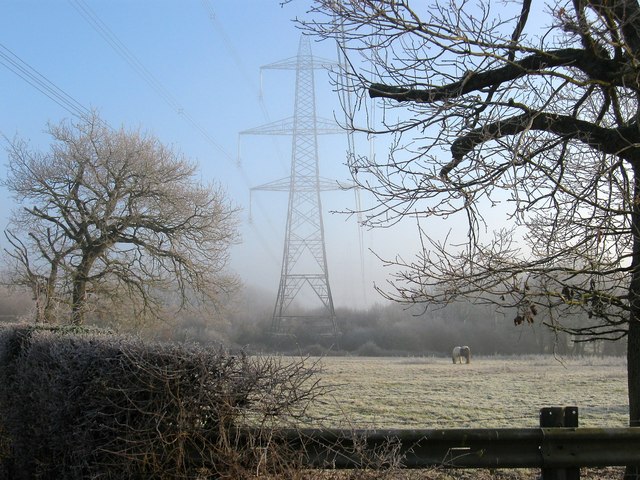
Image: © Simon Carey Taken: 30 Dec 2014
The name of the field according to Hurtspierpoint's 1842 tithe map. This is the northern part of the field with much of the southern area now containing Amberly Farm.
Images are licensed for reuse under creativecommons.org/licenses/by-sa/2.0
Image Location
Latitude
50.98101
Longitude
-0.170975