View if High Alderheads farm
Introduction
The photograph on this page of View if High Alderheads farm by Robert Graham as part of the Geograph project.
The Geograph project started in 2005 with the aim of publishing, organising and preserving representative images for every square kilometre of Great Britain, Ireland and the Isle of Man.

There are currently over 7.5m images from over 14,400 individuals and you can help contribute to the project by visiting https://www.geograph.org.uk
View if High Alderheads farm
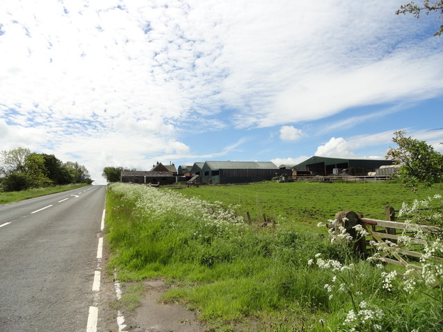
Image: © Robert Graham Taken: 26 May 2014
Looking from the north, down the A68.
Images are licensed for reuse under creativecommons.org/licenses/by-sa/2.0
Image Location
Latitude
54.816787
Longitude
-1.863962