Butt Lane (1)
Introduction
The photograph on this page of Butt Lane (1) by William Fairbrother as part of the Geograph project.
The Geograph project started in 2005 with the aim of publishing, organising and preserving representative images for every square kilometre of Great Britain, Ireland and the Isle of Man.

There are currently over 7.5m images from over 14,400 individuals and you can help contribute to the project by visiting https://www.geograph.org.uk
Butt Lane (1)
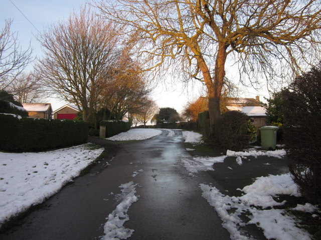
Image: © William Fairbrother Taken: 29 Dec 2014
Butt Lane, which is also a restricted byway and unadopted road, connects High Road and Rectory Lane. The sign 'Unsuitable for Motors' is slightly untrue at the High Road end since access is required by vehicles to reach several properties. See Image for the unsurfaced part of the lane.
Images are licensed for reuse under creativecommons.org/licenses/by-sa/2.0
Image Location
Latitude
52.91849
Longitude
-0.688034