River Allen floodplain and valley of Linn Burn joining it
Introduction
The photograph on this page of River Allen floodplain and valley of Linn Burn joining it by Christopher Hilton as part of the Geograph project.
The Geograph project started in 2005 with the aim of publishing, organising and preserving representative images for every square kilometre of Great Britain, Ireland and the Isle of Man.

There are currently over 7.5m images from over 14,400 individuals and you can help contribute to the project by visiting https://www.geograph.org.uk
River Allen floodplain and valley of Linn Burn joining it
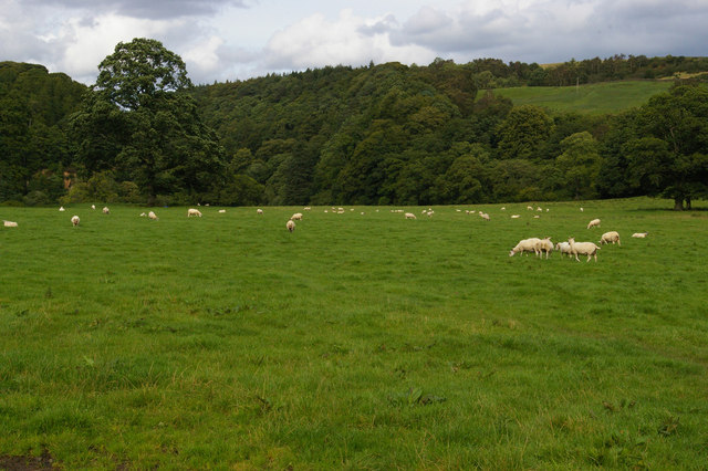
Image: © Christopher Hilton Taken: 28 Aug 2012
Images are licensed for reuse under creativecommons.org/licenses/by-sa/2.0
Image Location
Latitude
54.957711
Longitude
-2.31822