Calf Field/Barn Field
Introduction
The photograph on this page of Calf Field/Barn Field by Simon Carey as part of the Geograph project.
The Geograph project started in 2005 with the aim of publishing, organising and preserving representative images for every square kilometre of Great Britain, Ireland and the Isle of Man.

There are currently over 7.5m images from over 14,400 individuals and you can help contribute to the project by visiting https://www.geograph.org.uk
Calf Field/Barn Field
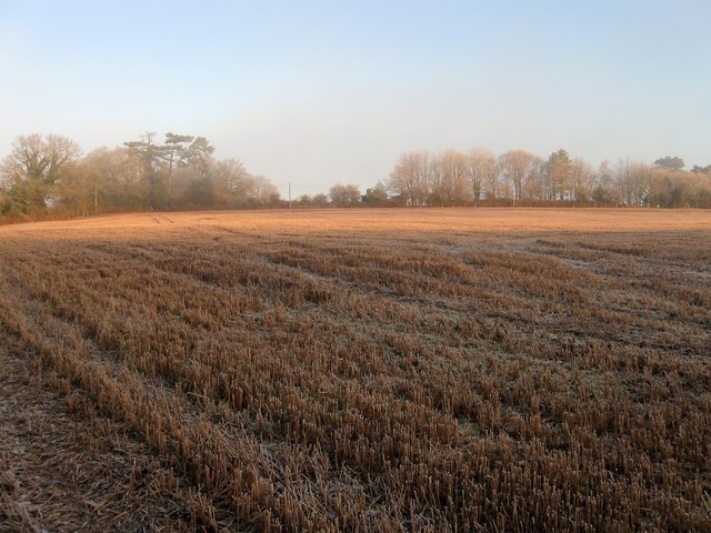
Image: © Simon Carey Taken: 30 Dec 2014
The name of the fields according to Cuckfield's 1843 tithe map that have been merged along with Image to the east to form a larger unit. Calf Field was in the foreground near the foot of the slope whilst Barn Field was further up and once contained a barn next to the trees at top to the right known as Harvest Hill Barn.
Images are licensed for reuse under creativecommons.org/licenses/by-sa/2.0
Image Location
Latitude
50.985408
Longitude
-0.153278