Zion Apartments, Berry Hill
Introduction
The photograph on this page of Zion Apartments, Berry Hill by Jaggery as part of the Geograph project.
The Geograph project started in 2005 with the aim of publishing, organising and preserving representative images for every square kilometre of Great Britain, Ireland and the Isle of Man.

There are currently over 7.5m images from over 14,400 individuals and you can help contribute to the project by visiting https://www.geograph.org.uk
Zion Apartments, Berry Hill
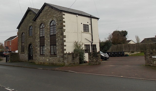
Image: © Jaggery Taken: 23 Nov 2014
Viewed across Chapel Road from the corner of Coverham Close. This was a former Methodist Chapel which has been converted into six apartments. An 1881 Ordnance Survey map shows it as Zion Chapel (Primitive Methodist). The building ceased being a place of worship in 1991.
Images are licensed for reuse under creativecommons.org/licenses/by-sa/2.0
Image Location
Latitude
51.809434
Longitude
-2.61524