The road down to Lower Mill, Midgehole
Introduction
The photograph on this page of The road down to Lower Mill, Midgehole by Phil Champion as part of the Geograph project.
The Geograph project started in 2005 with the aim of publishing, organising and preserving representative images for every square kilometre of Great Britain, Ireland and the Isle of Man.

There are currently over 7.5m images from over 14,400 individuals and you can help contribute to the project by visiting https://www.geograph.org.uk
The road down to Lower Mill, Midgehole
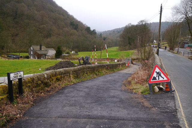
Image: © Phil Champion Taken: 16 Mar 2014
A track leading from Midgehole Road to a number of cottages near to site of a textile mill, now demolished. Part of the track had been resurfaced to allow access with heavy vehicles while work was taking place to rebuild one of the houses.
Images are licensed for reuse under creativecommons.org/licenses/by-sa/2.0
Image Location
Latitude
53.75655
Longitude
-2.01331