Gated path, south of Manor Crescent, Rothwell
Introduction
The photograph on this page of Gated path, south of Manor Crescent, Rothwell by Christine Johnstone as part of the Geograph project.
The Geograph project started in 2005 with the aim of publishing, organising and preserving representative images for every square kilometre of Great Britain, Ireland and the Isle of Man.

There are currently over 7.5m images from over 14,400 individuals and you can help contribute to the project by visiting https://www.geograph.org.uk
Gated path, south of Manor Crescent, Rothwell
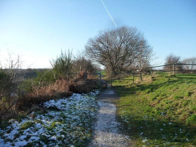
Image: © Christine Johnstone Taken: 30 Dec 2014
A former colliery railway line.
Images are licensed for reuse under creativecommons.org/licenses/by-sa/2.0
Image Location


Leaflet Map data © OpenStreetMap
Latitude
53.750516
Longitude
-1.488154