New housing development at Wolstanton
Introduction
The photograph on this page of New housing development at Wolstanton by Jonathan Hutchins as part of the Geograph project.
The Geograph project started in 2005 with the aim of publishing, organising and preserving representative images for every square kilometre of Great Britain, Ireland and the Isle of Man.

There are currently over 7.5m images from over 14,400 individuals and you can help contribute to the project by visiting https://www.geograph.org.uk
New housing development at Wolstanton
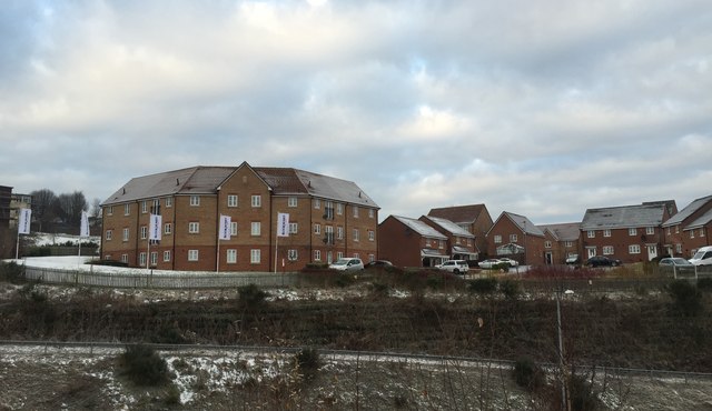
Image: © Jonathan Hutchins Taken: 30 Dec 2014
This new estate lies above the A500 and a new access road to the A527, and is here viewed from the car park of Wolstanton Retail Park on the opposite side of the access road. The banners proclaim the development is by Bloor Homes https://bloorhomes.com , who have named it 'Wulfstan Grange'; Wolstanton means 'Wulfstan's Town'. It is built on the site of the former sports field of Wolstanton Colliery; the colliery site itself is now home to the Retail Park.
Images are licensed for reuse under creativecommons.org/licenses/by-sa/2.0
Image Location
Latitude
53.031434
Longitude
-2.212146