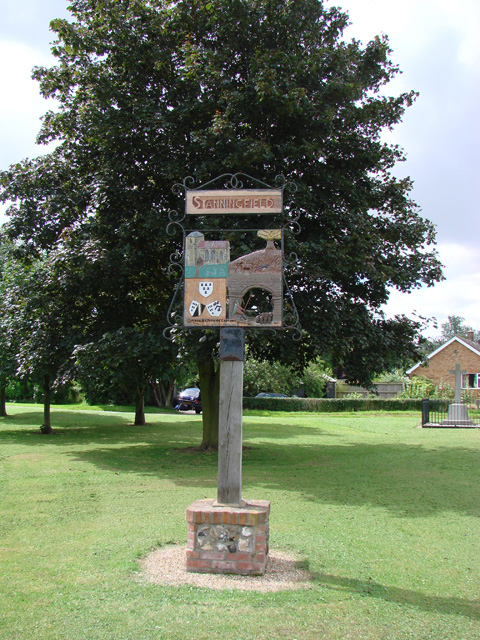
Stanningfield village sign
Introduction
The photograph on this page of Stanningfield village sign by Adrian S Pye as part of the Geograph project.
The Geograph project started in 2005 with the aim of publishing, organising and preserving representative images for every square kilometre of Great Britain, Ireland and the Isle of Man.
There are currently over 7.5m images from over 14,400 individuals and you can help contribute to the project by visiting https://www.geograph.org.uk

Image: © Adrian S Pye Taken: 18 Jul 2007
The sign depicts the church of St Nicholas and the agricultural heritage is represented by the horse and plough. In the lower section a reference to the Gunpowder Plot in November 1605, when local Catholic, Ambrose Rokewood was enlisted by Robert Catesby, a religious zealot and was one of the those who was subsequently hanged, drawn and quartered for his part in the conspiracy. The Coats of Arms are those used by the Rokewood family. http://www.geograph.org.uk/photo/4294741

