Muddles, Joyford Hill
Introduction
The photograph on this page of Muddles, Joyford Hill by Jaggery as part of the Geograph project.
The Geograph project started in 2005 with the aim of publishing, organising and preserving representative images for every square kilometre of Great Britain, Ireland and the Isle of Man.

There are currently over 7.5m images from over 14,400 individuals and you can help contribute to the project by visiting https://www.geograph.org.uk
Muddles, Joyford Hill
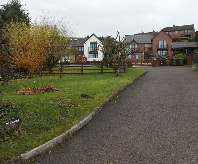
Image: © Jaggery Taken: 23 Nov 2014
Set back from the edge of Joyford Hill. The name sign is in the lower left corner.
Images are licensed for reuse under creativecommons.org/licenses/by-sa/2.0
Image Location
Latitude
51.813489
Longitude
-2.61341