Joyford Hill descent ahead, Joyford
Introduction
The photograph on this page of Joyford Hill descent ahead, Joyford by Jaggery as part of the Geograph project.
The Geograph project started in 2005 with the aim of publishing, organising and preserving representative images for every square kilometre of Great Britain, Ireland and the Isle of Man.

There are currently over 7.5m images from over 14,400 individuals and you can help contribute to the project by visiting https://www.geograph.org.uk
Joyford Hill descent ahead, Joyford
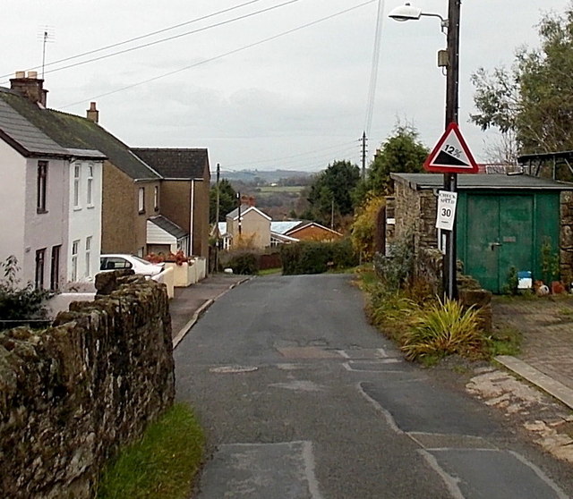
Image: © Jaggery Taken: 23 Nov 2014
The triangular sign shows a 12% (between 1 in 8 and 1 in 9) descent ahead.
Images are licensed for reuse under creativecommons.org/licenses/by-sa/2.0
Image Location


Leaflet Map data © OpenStreetMap
Latitude
51.813214
Longitude
-2.614422