Aqueduct
Introduction
The photograph on this page of Aqueduct by Adrian S Pye as part of the Geograph project.
The Geograph project started in 2005 with the aim of publishing, organising and preserving representative images for every square kilometre of Great Britain, Ireland and the Isle of Man.

There are currently over 7.5m images from over 14,400 individuals and you can help contribute to the project by visiting https://www.geograph.org.uk
Aqueduct
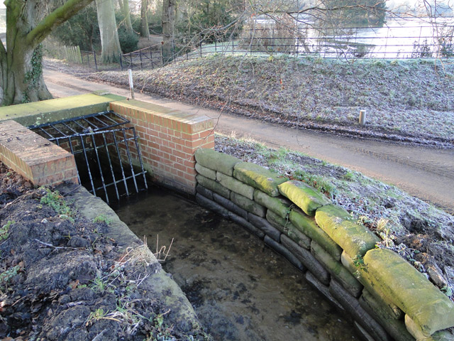
Image: © Adrian S Pye Taken: 30 Dec 2014
The water from the surrounding fields is fed into this aqueduct, under the road and into the lake on the opposite side. The lake has a natural overflow and the water is always fresh.
Images are licensed for reuse under creativecommons.org/licenses/by-sa/2.0
Image Location
Latitude
52.910744
Longitude
1.069124