Maze Walk, Berry Hill
Introduction
The photograph on this page of Maze Walk, Berry Hill by Jaggery as part of the Geograph project.
The Geograph project started in 2005 with the aim of publishing, organising and preserving representative images for every square kilometre of Great Britain, Ireland and the Isle of Man.

There are currently over 7.5m images from over 14,400 individuals and you can help contribute to the project by visiting https://www.geograph.org.uk
Maze Walk, Berry Hill
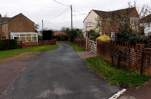
Image: © Jaggery Taken: 23 Nov 2014
A secondary meaning of maze applies here - (a structure with a) single winding path much greater in distance from beginning to end than the direct line. The direct distance between the two ends of Maze Walk is 150 metres. The route ahead, from Park Road along Maze Walk to Coopers Road, is 310 metres.
Images are licensed for reuse under creativecommons.org/licenses/by-sa/2.0
Image Location
Latitude
51.812736
Longitude
-2.619927