Derelict bridge and factory
Introduction
The photograph on this page of Derelict bridge and factory by Mat Fascione as part of the Geograph project.
The Geograph project started in 2005 with the aim of publishing, organising and preserving representative images for every square kilometre of Great Britain, Ireland and the Isle of Man.

There are currently over 7.5m images from over 14,400 individuals and you can help contribute to the project by visiting https://www.geograph.org.uk
Derelict bridge and factory
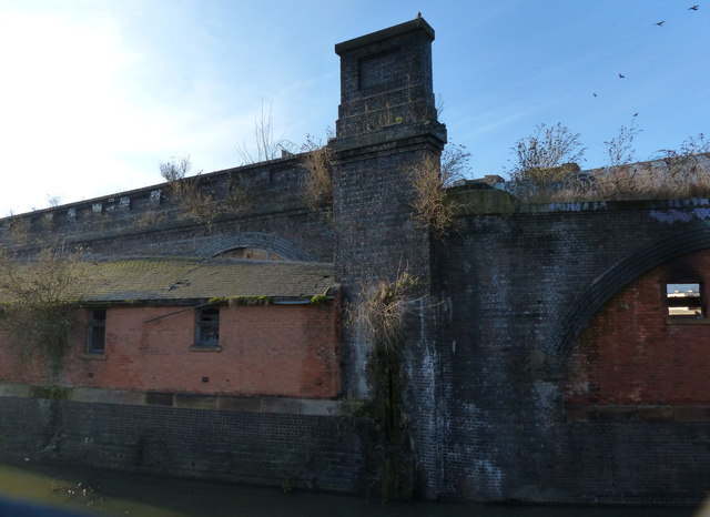
Image: © Mat Fascione Taken: 29 Dec 2014
Located along the Old River Soar, this bridge used to carry the Great Central Railway, later a cycleway and footpath. It is next to where the Bowstring Bridge used to be located.
Images are licensed for reuse under creativecommons.org/licenses/by-sa/2.0
Image Location
Latitude
52.631024
Longitude
-1.144491