St Leonard's Road, Bridgend
Introduction
The photograph on this page of St Leonard's Road, Bridgend by Jaggery as part of the Geograph project.
The Geograph project started in 2005 with the aim of publishing, organising and preserving representative images for every square kilometre of Great Britain, Ireland and the Isle of Man.

There are currently over 7.5m images from over 14,400 individuals and you can help contribute to the project by visiting https://www.geograph.org.uk
St Leonard's Road, Bridgend
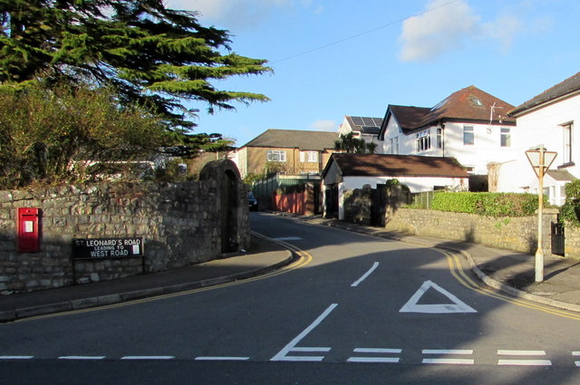
Image: © Jaggery Taken: 24 Dec 2014
St Leonard's Road heads north away from the A473 Park Street, towards West Road. The postbox http://www.geograph.org.uk/photo/4293495 in the wall is from the reign of King George V (May 6th 1910-January 20th 1936).
Images are licensed for reuse under creativecommons.org/licenses/by-sa/2.0
Image Location
Latitude
51.505836
Longitude
-3.58747