Victory Baptist Church, St Anne's Road
Introduction
The photograph on this page of Victory Baptist Church, St Anne's Road by David Dixon as part of the Geograph project.
The Geograph project started in 2005 with the aim of publishing, organising and preserving representative images for every square kilometre of Great Britain, Ireland and the Isle of Man.

There are currently over 7.5m images from over 14,400 individuals and you can help contribute to the project by visiting https://www.geograph.org.uk
Victory Baptist Church, St Anne's Road
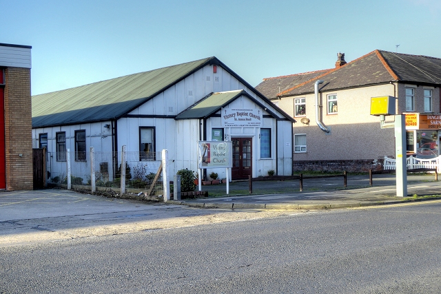
Image: © David Dixon Taken: 24 Dec 2014
Then known as the Bethel Evangelical Fellowship, the church on St Annes Road was built in 1932. The building was later used as a Moravian church, and then a Church of the Nazarene. In 1987, the building became the St Anne's Road or Victory Baptist Church.
Images are licensed for reuse under creativecommons.org/licenses/by-sa/2.0
Image Location
Latitude
53.797496
Longitude
-3.042653