Major crossroads in the west of Bridgend
Introduction
The photograph on this page of Major crossroads in the west of Bridgend by Jaggery as part of the Geograph project.
The Geograph project started in 2005 with the aim of publishing, organising and preserving representative images for every square kilometre of Great Britain, Ireland and the Isle of Man.

There are currently over 7.5m images from over 14,400 individuals and you can help contribute to the project by visiting https://www.geograph.org.uk
Major crossroads in the west of Bridgend
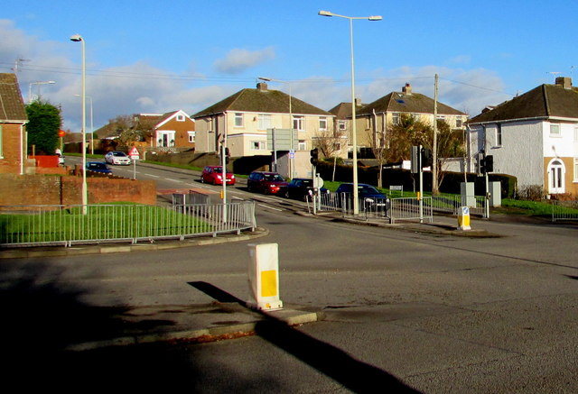
Image: © Jaggery Taken: 24 Dec 2014
The A473 Bryntirion Hill (left to right, west to east) is intersected by Bryngolau (Bright Hill) to the north (ahead) and the B4622 on the camera side.
Images are licensed for reuse under creativecommons.org/licenses/by-sa/2.0
Image Location
Latitude
51.507612
Longitude
-3.602374