Former Hamble Airfield
Introduction
The photograph on this page of Former Hamble Airfield by Robin Webster as part of the Geograph project.
The Geograph project started in 2005 with the aim of publishing, organising and preserving representative images for every square kilometre of Great Britain, Ireland and the Isle of Man.

There are currently over 7.5m images from over 14,400 individuals and you can help contribute to the project by visiting https://www.geograph.org.uk
Former Hamble Airfield
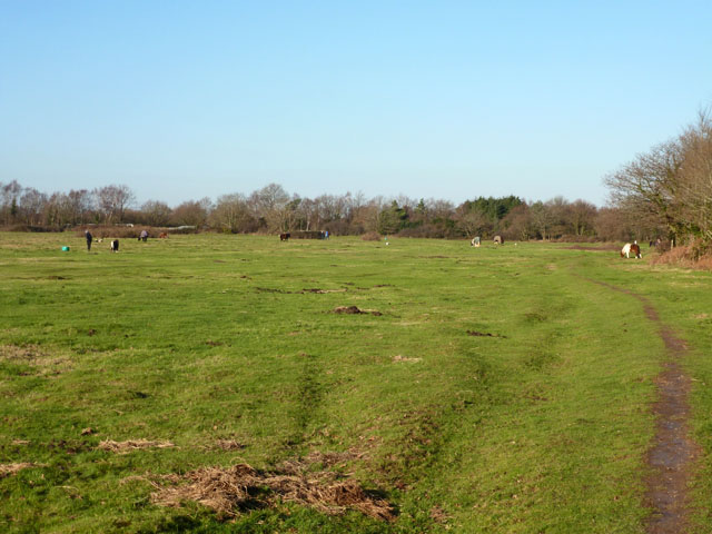
Image: © Robin Webster Taken: 28 Dec 2014
The north end of the area, which is apparently owned now by property developers. It has partly broken down fencing and is crossed by several unofficial footpaths. There are several horses staked out, keeping the grass down.
Images are licensed for reuse under creativecommons.org/licenses/by-sa/2.0
Image Location
Latitude
50.871326
Longitude
-1.321062