Path and canal on Thamesmead
Introduction
The photograph on this page of Path and canal on Thamesmead by Marathon as part of the Geograph project.
The Geograph project started in 2005 with the aim of publishing, organising and preserving representative images for every square kilometre of Great Britain, Ireland and the Isle of Man.

There are currently over 7.5m images from over 14,400 individuals and you can help contribute to the project by visiting https://www.geograph.org.uk
Path and canal on Thamesmead
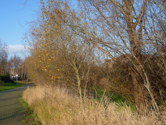
Image: © Marathon Taken: 28 Dec 2014
The landscaped canals were former drainage ditches on Plumstead and Erith Marshes. This is just south of the Town Centre where they are a little more natural and hidden largely by trees, even in winter. Just to the north though the canal is more formal when it reaches the Town Centre - see http://www.geograph.org.uk/photo/4292286
Images are licensed for reuse under creativecommons.org/licenses/by-sa/2.0
Image Location
Latitude
51.505643
Longitude
0.10818