Access Track Near Penchrise Peel
Introduction
The photograph on this page of Access Track Near Penchrise Peel by James T M Towill as part of the Geograph project.
The Geograph project started in 2005 with the aim of publishing, organising and preserving representative images for every square kilometre of Great Britain, Ireland and the Isle of Man.

There are currently over 7.5m images from over 14,400 individuals and you can help contribute to the project by visiting https://www.geograph.org.uk
Access Track Near Penchrise Peel
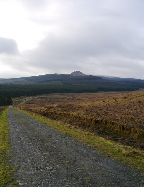
Image: © James T M Towill Taken: 27 Dec 2014
A view of the road, providing access to the Whitrope Forest, beyond. The Maiden Paps can be seen in the distance.
Images are licensed for reuse under creativecommons.org/licenses/by-sa/2.0
Image Location
Latitude
55.341492
Longitude
-2.76607