Far Falls Farm
Introduction
The photograph on this page of Far Falls Farm by Jonathan Thacker as part of the Geograph project.
The Geograph project started in 2005 with the aim of publishing, organising and preserving representative images for every square kilometre of Great Britain, Ireland and the Isle of Man.

There are currently over 7.5m images from over 14,400 individuals and you can help contribute to the project by visiting https://www.geograph.org.uk
Far Falls Farm
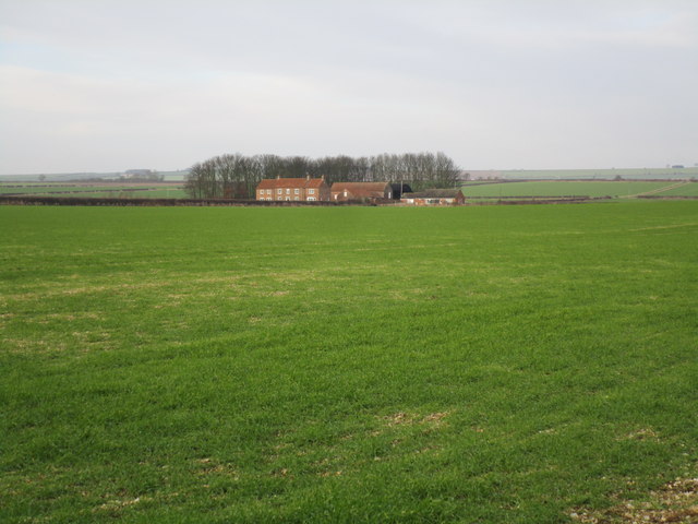
Image: © Jonathan Thacker Taken: 27 Dec 2014
Typical Wolds farm with a belt of trees providing some shelter on an exposed site.
Images are licensed for reuse under creativecommons.org/licenses/by-sa/2.0
Image Location
Latitude
54.012731
Longitude
-0.546722