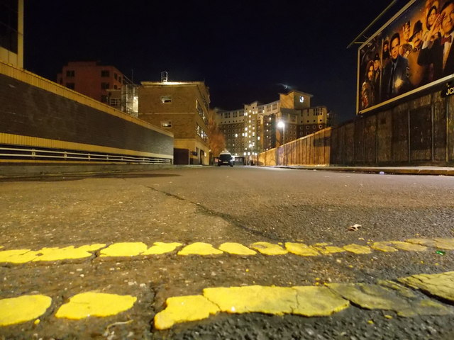
Bournemouth: the dead end of St. Paul?s Lane
Introduction
The photograph on this page of Bournemouth: the dead end of St. Paul?s Lane by Chris Downer as part of the Geograph project.
The Geograph project started in 2005 with the aim of publishing, organising and preserving representative images for every square kilometre of Great Britain, Ireland and the Isle of Man.
There are currently over 7.5m images from over 14,400 individuals and you can help contribute to the project by visiting https://www.geograph.org.uk

Image: © Chris Downer Taken: 24 Dec 2014
Looking along St. Paul's Lane from ground level at its northern end. St. Paul's Lane is just a small back-street in the town's main business district, although it was a thoroughfare until the 1970s when the town's main road approaches were constructed. In this picture, the advertisement hoarding on the right (for an upcoming film) shields what has been a vacant building plot for many, many years. On the immediate left is a tall wall around the grounds of the McCarthy & Stone building (Image). More distant is Cranborne House (Image), one of the University's many student accommodation blocks, while on the left is Image A few inches below us are the double yellow lines at the end of the carriageway, but pedestrian access is available to the pavement of St. Paul's Road running left-right immediately behind us. The route is physically blocked off to vehicles by a row of concrete posts. The not-quite-new moon is just visible in light cloud above Cranborne House.

