Bournemouth: subway under St. Paul?s Road
Introduction
The photograph on this page of Bournemouth: subway under St. Paul?s Road by Chris Downer as part of the Geograph project.
The Geograph project started in 2005 with the aim of publishing, organising and preserving representative images for every square kilometre of Great Britain, Ireland and the Isle of Man.

There are currently over 7.5m images from over 14,400 individuals and you can help contribute to the project by visiting https://www.geograph.org.uk
Bournemouth: subway under St. Paul?s Road
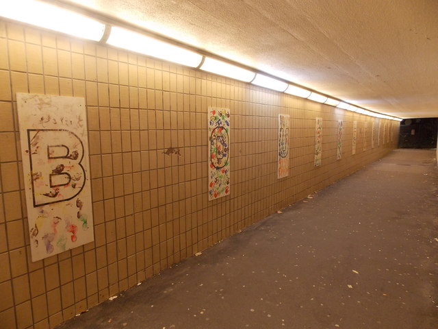
Image: © Chris Downer Taken: 24 Dec 2014
The subway leads to the Asda supermarket and the railway and coach stations. Thirteen panels on the wall spell out the word Bournemouth (with a spare at each end) and are embellished with painted handprints.
Images are licensed for reuse under creativecommons.org/licenses/by-sa/2.0
Image Location
Latitude
50.726014
Longitude
-1.86564