Cherry Trees, Whitemans Green
Introduction
The photograph on this page of Cherry Trees, Whitemans Green by Simon Carey as part of the Geograph project.
The Geograph project started in 2005 with the aim of publishing, organising and preserving representative images for every square kilometre of Great Britain, Ireland and the Isle of Man.

There are currently over 7.5m images from over 14,400 individuals and you can help contribute to the project by visiting https://www.geograph.org.uk
Cherry Trees, Whitemans Green
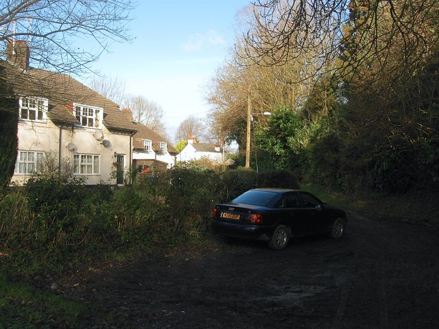
Image: © Simon Carey Taken: 20 Dec 2014
Four pairs of maisonettes built between the wars on the site of former allotment gardens. The drive heads south from the B2115 and is also the route of a public footpath.
Images are licensed for reuse under creativecommons.org/licenses/by-sa/2.0
Image Location
Latitude
51.01406
Longitude
-0.145296