Lamerton Footpath 9
Introduction
The photograph on this page of Lamerton Footpath 9 by Derek Harper as part of the Geograph project.
The Geograph project started in 2005 with the aim of publishing, organising and preserving representative images for every square kilometre of Great Britain, Ireland and the Isle of Man.

There are currently over 7.5m images from over 14,400 individuals and you can help contribute to the project by visiting https://www.geograph.org.uk
Lamerton Footpath 9
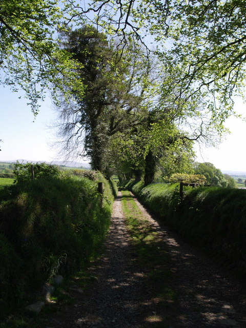
Image: © Derek Harper Taken: 1 May 2007
The track leads from Higher Haye Farm to Great Haye Farm, although a notice warns that there is no access to the latter, which is reached from Lamerton.
Images are licensed for reuse under creativecommons.org/licenses/by-sa/2.0
Image Location
Latitude
50.585645
Longitude
-4.198377