Lane at Higher Haye Farm
Introduction
The photograph on this page of Lane at Higher Haye Farm by Derek Harper as part of the Geograph project.
The Geograph project started in 2005 with the aim of publishing, organising and preserving representative images for every square kilometre of Great Britain, Ireland and the Isle of Man.

There are currently over 7.5m images from over 14,400 individuals and you can help contribute to the project by visiting https://www.geograph.org.uk
Lane at Higher Haye Farm
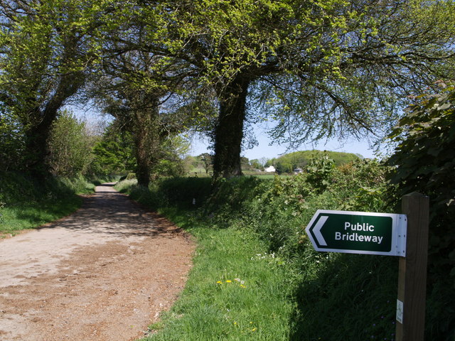
Image: © Derek Harper Taken: 1 May 2007
From the conclusion of the lane, looking up it towards Higher Haye Cottages. The bridleway indicated is Lamerton Bridleway 27, which goes to Image
Images are licensed for reuse under creativecommons.org/licenses/by-sa/2.0
Image Location
Latitude
50.586269
Longitude
-4.198688