Common Mead Lane, Gillingham
Introduction
The photograph on this page of Common Mead Lane, Gillingham by Jaggery as part of the Geograph project.
The Geograph project started in 2005 with the aim of publishing, organising and preserving representative images for every square kilometre of Great Britain, Ireland and the Isle of Man.

There are currently over 7.5m images from over 14,400 individuals and you can help contribute to the project by visiting https://www.geograph.org.uk
Common Mead Lane, Gillingham
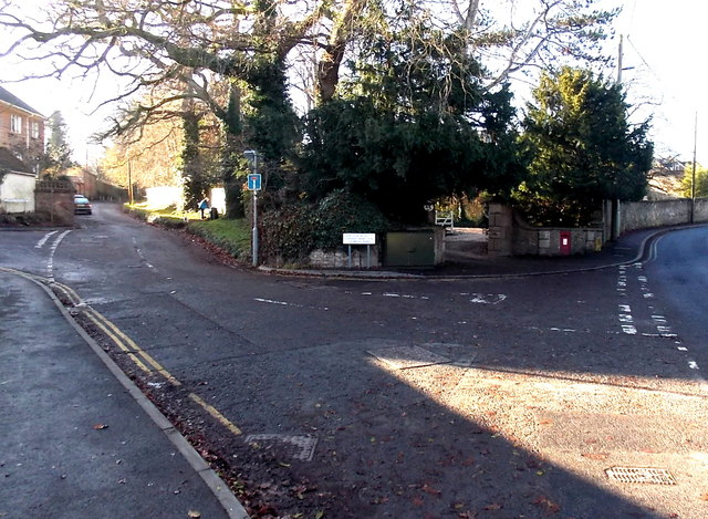
Image: © Jaggery Taken: 13 Dec 2014
To the right of the blue sign indicating no through road, text on a sign shows VEHICULAR ACCESS TO COMMON MEAD LANE VIA BROAD ROBIN, but does not state where Broad Robin is (accessed via Wyke Road on the right). The postbox http://www.geograph.org.uk/photo/4290535 in the wall on the right is unusually large for this area outside the town centre.
Images are licensed for reuse under creativecommons.org/licenses/by-sa/2.0
Image Location
Latitude
51.037161
Longitude
-2.280772