Le Neubourg Way in Gillingham
Introduction
The photograph on this page of Le Neubourg Way in Gillingham by Jaggery as part of the Geograph project.
The Geograph project started in 2005 with the aim of publishing, organising and preserving representative images for every square kilometre of Great Britain, Ireland and the Isle of Man.

There are currently over 7.5m images from over 14,400 individuals and you can help contribute to the project by visiting https://www.geograph.org.uk
Le Neubourg Way in Gillingham
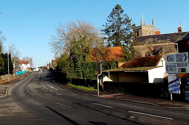
Image: © Jaggery Taken: 13 Dec 2014
Viewed from the corner of Wyke Street looking NNE towards Cemetery Road. Le Neubourg in northern France is twinned with Gillingham. The top of the Parish Church of St Mary the Virgin http://www.geograph.org.uk/photo/4282258 is in the background.
Images are licensed for reuse under creativecommons.org/licenses/by-sa/2.0
Image Location
Latitude
51.038875
Longitude
-2.278215