St Mary's Road, Honley
Introduction
The photograph on this page of St Mary's Road, Honley by Humphrey Bolton as part of the Geograph project.
The Geograph project started in 2005 with the aim of publishing, organising and preserving representative images for every square kilometre of Great Britain, Ireland and the Isle of Man.

There are currently over 7.5m images from over 14,400 individuals and you can help contribute to the project by visiting https://www.geograph.org.uk
St Mary's Road, Honley
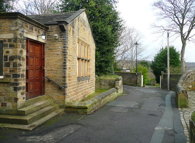
Image: © Humphrey Bolton Taken: 24 Dec 2014
This is off Church Street; the building on the left is the church hall. The road leads to a footpath that goes down to the riverside path and on to Mag Dale.
Images are licensed for reuse under creativecommons.org/licenses/by-sa/2.0
Image Location
Latitude
53.604742
Longitude
-1.79262